
Stop 15 of 37
A Night at the edge of a Meteorite Strike
During William Clark’s life, he spent the night in many varied locations but none more interesting geologically than on the evening of 6 November 1809. Mr. (William) White’s Tavern was in Ferndale, KY, present-day intersection of Old U S 25 E and KY 1534, (1) at the edge of a meteorite impact crater having a diameter of 3-miles. This geological significance was not determined until 1962 by USGS Scientist Englund and Roen. (2)(3)
On 7 November the Clark party had breakfast at Mr. White’s then traveled through the impact crater and along a road that today is US 25E to Avondale Ave. in Middlesboro, KY. This route crossed Little Yellow Creek in more than one location during a season already described by Clark as rainy and cold before reaching the “saddle” and crossing Cumberland Mountain. William was traveling a trail he had used before, a trail first recorded by Dr. Thomas Walker in his journal. (4) Dr. Walker had learned of the “gap” in the limestone barrier from the Indians. Cave Gap, re-named by Dr. Walker as Cumberland Gap, would be celebrated by Frederick Jackson Turner in his 1893 “Frontier Thesis”, a thesis in which William Clark played a central figure in opening of the West. (5)
“Stand at Cumberland Gap and watch the procession of Civilization, marching single file—the buffalo following the trail to the salt springs, the Indian, the fur-trader and the hunter, the cattle-raiser, the pioneer farmer—and the frontier has passed by. Stand at South Pass in the Rockies a century later and see the same procession with wider intervals between.”
Gateway to the West: Daniel Boone Leading Daniel Boone Escorting Settlers through the Cumberland Gap Settlers Through the Cumberland Gap painted 1852 painted 2005
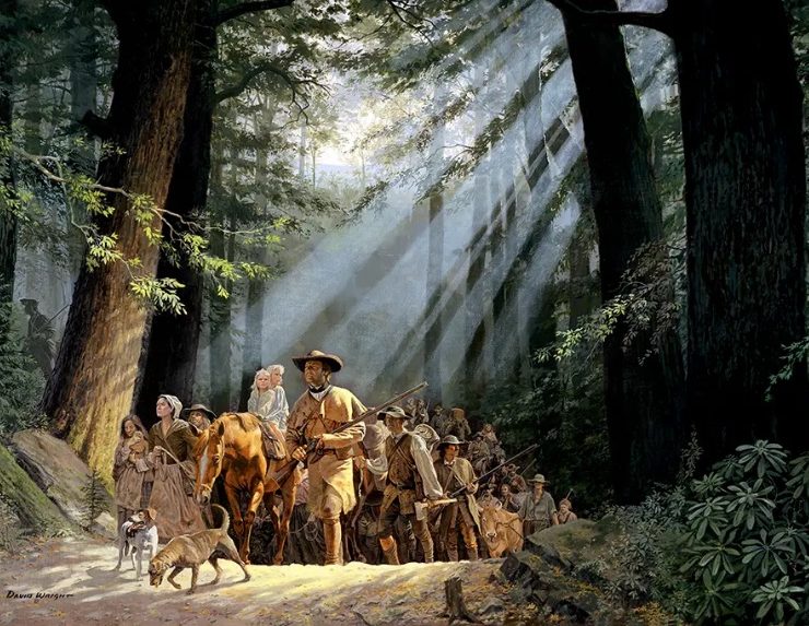
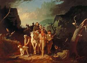
Courtesy: David Wright Courtesy: Washington University Gallery of Art, St. Louis https://davidwright.com
Courtesy: Tom Shattuck https://www.bellcountyhistorical.org/
Today the route over the “saddle” can be followed through Cumberland Gap National Historical Park. (6) The 24,536-acre park across the corner of Kentucky, Tennessee, and Virginia, established in 1941, is a monument to perseverance of human spirit and fortitude. Fortunately for today’s traveler, a twin bore tunnel cut through the mountain barrier and finished in 1996, allows vehicle passage on U S 25 E to move quickly through the great limestone barrier. The tunnel permitted restoration of the old road for walkers, hikers, runners so the wilderness can be experienced once again. In-reality, there are two versions of the trail up to the “saddle” on the North side of Cumberland Gap. From the Thomas Walker Parking Area, take the Object Lesson Road to follow the Clark route of 1809 or the Boone Trace-Wilderness Road Trail -see signs in the parking lot- used for horse or foot travel in the early days. at Cumberland Mt. .75, shoeing horse.75.
Source:
(1) Fusion, Henry Harvey, History of Bell Co, KY, Harlan, 1939, Chapter 1, Bell County Gateway to the West page 9 & 21. An unpublished book available at the Bell Co. Ky Historical Society.
(2) https://impactcraters.us/middlesboro_kentucky
(3) https://kgs.uky.edu/kgsweb/olops/pub/kgs/mc199_12.pdf
(4) http://www2.vcdh.virginia.edu/lewisandclark/students/projects/adventurers/walker_cumberlandgap.html