
Stop 12 of 37
A Broken Carriage Strap Caused Delay
On 1 November, the Clarks traveled 15 miles. One of the leathers of the carriage broke which detained several hours. Dined at Mr. Buford’s in Lancaster – 1.25 and stayed all night a Capt. Taylors on the Dicks (Dix) River- cost 2.25 (near 37.57177N, 84.61332W- near Old Lancaster Road #2). The exact site is unknown.
Mr. Buford’s Tavern was in the heart of Lancaster, KY and the present-day Garrard County Judicial Center (37°61807N, 84°57905W) bound on the south by West Buford Street, west by the US Post Office, north by the Garrard County Court House and the east by U. S. 27. We can appreciate Clark’s lack of comment because his mind was no doubt on the replacement of the leather strap for their carriage.
Garrard County (KY) Judicial Center
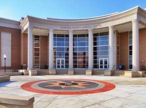
Courtesy: Lewis and Clark Trust
Reaching Stanford, KY on 2 November they stopped at John Logan’s stone house, -Servant .75- Pr. Gloves Mrs. Clark 1.00. KY Historical Marker number 1561, on KY 78, (37°53090N, 84°64234W).
John Logan House
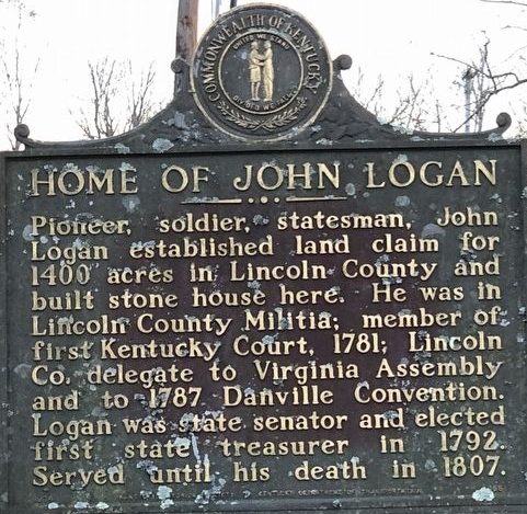
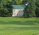
Courtesy: Lewis and Clark Trust
Located at 65 Goshen Church Road (KY-642), north of Wilderness Trail (KY-78), on the left when traveling north. It is near the intersection of US 150 and Goshen Road, about one mile east of Stanford.
John Logan was the brother of Benjamin Logan founder of Stanford and Logans Fort (37°31.841’ N, 84°40.678’ W). While the fort was no longer in use in 1809, it was already a monument to the Logan brothers, Kentucky militiamen and leaders that served the First West. A few miles to the east along US 150 they passed the William Whitley House, the first brick house west of the Allegheny Mountains (37.46866N, 84.54937W). The Whitley house was not listed in the Clark journal but within sight of the road. William Whitley is one of the most recorded protectors of the Old Wilderness Road and the pioneers that traveled into the Bluegrass via the Cumberland Gap. (1)
William Whitley House, built 1794
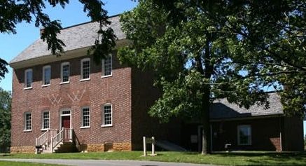
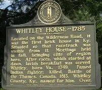
Courtsey: https://www.lincolnky.com/departments/william_whitley_house.php
625 William Whitley Rd, Stanford, KY 40484,
The house and race track were near the road the Clark’s were traveling. It is worthy of visiting for a prospective on frontier life along the Wilderness Road.
William Clark commented, Breakfast at Mr. Pleasants at the Crab Orchard, bad house, cost 1.50. Lodged a the Stone house very bad, cost 1.50.we could not get admittance at Mr. Smiths .
Crab Orchard, approximately 7 miles from the Whitley House, was named for the large number of wild crab apple trees near the Wilderness Road and a gathering place for people traveling East along the Wilderness Road. There was safety in traveling in large groups through the 130 miles wilderness. Notices of groups being formed at Crab Orchard appeared in the Kentucky Gazette, edited by John Bradford. The Gazette was “the” newspaper west of the Allegheny Mountains and covered a 500-mile radius. In 1793 Reverend Francis Asbury described the organizing of an east bound group at the Crab Orchard. (2) The Louisville Branch and the Lexington Branch of the Wilderness Road met at the Crab Orchard making it a significant geographic location for east bound travelers. In Meriwether Lewis’ 23 September 1806 letter to President Jefferson, the “Return Letter”, Lewis listed Crab Orchard as one of the reference points in the trip to Washington. (3) From the 1820’s to the 1920’s the 8 large mineral springs at Crab Orchard became the center of social and health spas with resort hotels having 250 rooms in one structure. (4)
That night, lodged at stone house, very bad, we could not get admittance at Mr. Smith’s 26 miles. This was the first time that the Clark party could not find a room where they wanted to stay. They are on the Wilderness Road in the vicinity of Mt. Vernon, KY and approaching the Boone Trace where the two historic trails merge. (5)
Rockcastle River Ford, Southern edge of Mt. Vernon, KY
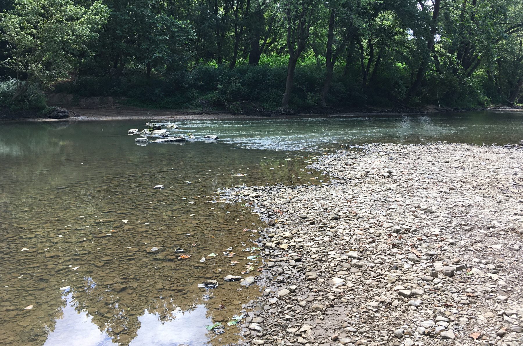
Courtesy: Lewis and Clark Trust
Rockcastle River, 55-miles long, named by Dr. Thomas Walker, Loyal Land Company explorer, the Lawless River. Renamed, Rockcastle River in 1767 by Issac Lindsey Rockcastle County founder.
Recreation opportunities include fishing and kayaking. https://fw.ky.gov/Education/Pages/Rockcastle-River.aspx
Boone Trace, Wilderness Road, America Scenic Byways used by Lewis and Clark on several occasions.
Rockcastle Co. KY
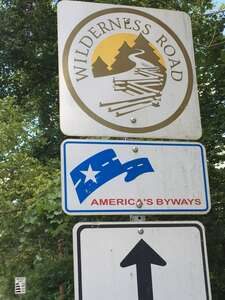
Courtesy: Lewis and Clark Trust
This section of the Boone Trace, Wilderness Road is in the Daniel Boone National Forest.
https://www.fs.usda.gov/r08/danielboone
Courtesy: U S Forest Service
On the 3 November, the Wilderness Road turned into a muddy path, rained all last night and today, proceeded on to Rockcastle at Mr. Farris, 6 miles- cost 6.00. John Farris Tavern was located south of Old Hazel Patch at the Fork of the Wilderness Road and Boone Trace. (6) The short travel distance clearly shows the conditions of the road they were traveling.
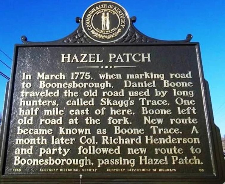
Courtesy: hmdb.org
Source:
(1) https://stateparks.com/william_whitley_house_state_historic_site_in_kentucky.html
(2) Asbury, Francis, Rev., The Journal of the Rev. Francis Asbury: Bishop of the Methodist Episcopal Church, Applewood’s Books, New Bedford, MA, original 1821, page 164.
(3) Jackson, Donald, Letters of the Lewis and Clark Expedition with Related Documents 1783-1854, University of Illinois Press, Urbana, 1978, page 324.
(4) https://craborchard.ky.gov/Pages/history-and-tourism.aspx
(5) https://www.outragegis.com/boonetrace/_v2/web/#close
(6) Kincaid, Robert, The Wilderness Road, Bobbs-Merrill Co., Middlesboro, KY, 1966, page 196