
Stop 3 of 37
Poor Roads and Questionable Food
Few, Five Star Rated Accommodation’s
After several day of poor roads, poor lodging and food, William noted, on 29 September, rose late horse a little better. He gave a good rating to Sarah Lusk Thompson’s Tavern, paid $3.00 for lodging and food plus $1.00 for forage. At the close of the previous day, he commented good family pleasant man. William was feeling better. Lusk Ferry, later Berry’s Ferry, was a familiar crossing point for William and Julia. In 1808, York, Clark’s enslaved servant and the first recorded African American to traverse the North American Continent, had taken the carriage across country to St. Louis from Lusk Ferry. (1)
After crossing the Ohio River on the Lusk Ferry, Clark made his first purchase in Kentucky, a quart of whiskey and reported that the house was dirty. Was he trying to alleviate the pain of the past several days or preparing for the future?
As the Clark’s traveled in a Southeasterly direction along present-day KY 133, they were within a few yards of Mantle Rock. The historic significant trail, across western Kentucky, would be followed in the 1837-38, as part of the future National Park Service -Trail of Tears. As a Superintendent of Indian Affairs, the primary Federal Agent responsible for relocating thousands of Cherokees, Chickasaw, Choctaw, Creeks, and Seminole to the “Indian Territory”, Clark was navigating a trail that would become a forced migration route.
In October 1837, Lieutenant B. B. Cannon would lead a volunteer group of Cherokee Indians northwest along same route the Clark’s had traveled. The Cherokee were relocating to their new home in the Indian Territory. (2) In 1838-1839, Captain Peter Hilderbrand would lead a Cherokee detachment along the same route. They would be forced to spend two bitterly cold weeks in the Mantle Rock Area because the Ohio River ice prevented the ferry from operating. (3)
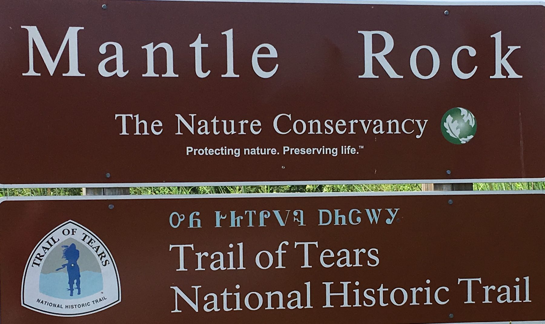
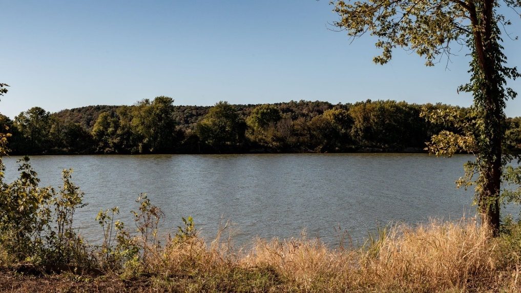
Courtesy: National Park Service- Trail of Tears
Lieutentant B. B. Cannon 1837 Route, following the same corridor the Clark Party used in 1809 from Hopkinsville to the Ohio River.
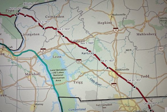
Courtesy: Chistopher W. Dunn, Esq.
Chris.Dunn@GeoVelo.com
The Clarks traveled through Salem, Centerville, present-day Fredonia, KY, and eventually to Judge William Prince’s at the “Big Springs”, present-day Princeton, KY. (4) They were following the Saline Trail used by Indigenous People for centuries to move salt or other trade items from the salt springs in Southern Illinois to the southeast or other regions. (5)
The Clark party was also traveling the corridor George Drouillard would have used in November 1803, to Ft. Southwest Point, TN (35°.860632 -84°.5291008) The trail crossed the Ohio at Lusk’s Ferry, later Berry’s Ferry, then following a trail that crossed streams at or near their head waters to the vicinity of present-day Guthrie, KY to Mansker’s Station, near Goodlettsville, TN. (6) With a stop at Craigfont, Castalian Springs, TN (7) and followed the well-established Avery Trace (8) a.k.a. Tollunteekee Trail to Ft. Southwest Point, Kingston, TN. (9) Drouillard did not keep a known journal nor do we know if Lewis provided a map. We do know that George Drouillard was successful in his first mission for Lewis and Clark escorting recruits to the first winter camp on Wood River, Il. (10)(11)
On 2 October 1809, Clark arrived in Hopkinsville, KY and paid $1.75 for breakfast at Mr. Alsberrys (Thomas Allsberry Tavern) before proceeding to Colonel (Anthony) New’s home and stayed all night.
Hopkinsville, KY Historical Marker
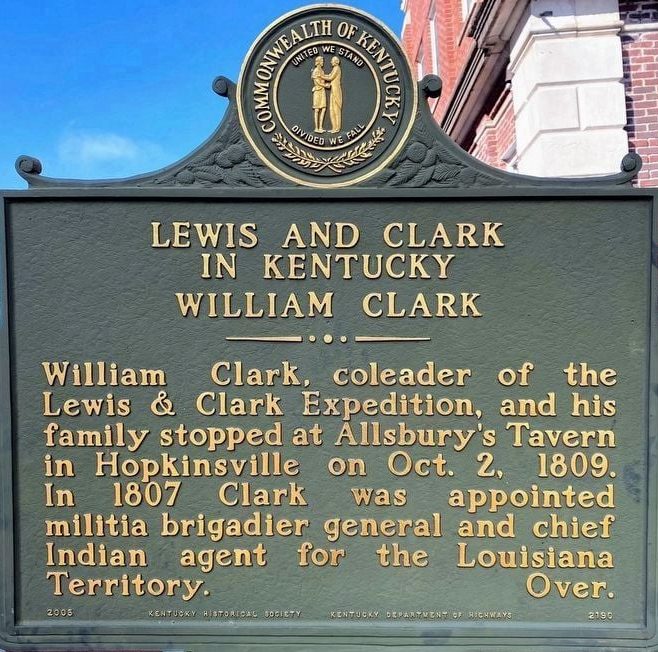
Courtesy: KY Lewis and Clark Bicentennial Commission
and several Hopkinsville Community Organizations
Colonel New’s Dunheath
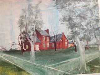
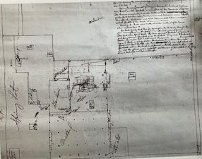
Painting and drawing of Colonel New’s Dunheath, Elkton, KY. Named for ancestorial homes in VA and Scotland.
Painting and drawing Courtesy: Charline Standard Ring and provided by Historic Todd County, KY.
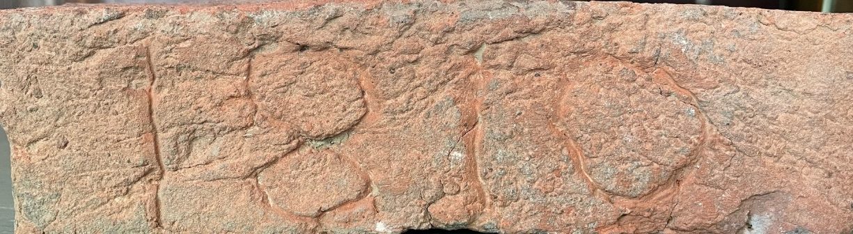
Hand-made brick from Dunheath. Fired from clay on site.
Courtesy: Historic Todd County (KY)
Welcome Center 1 Public Square
Elkton, KY 42220
270-265-7070
Col. Anthony New, silhouette
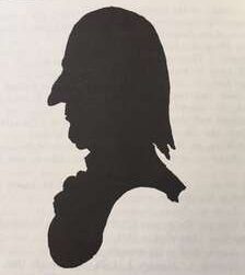
Courtesy: Wingfield’s History of Virginia
The New plantation was approximately equal distance between Hopkinsville and Russellville, KY on present-day Business U S 68/KY 80 just west of downtown Elkton, KY. Colonel New, trained as an attorney, had been member of the Virginia Militia 1780-1781, and was a U. S. Representative in Congress 1793-1805 in Virginia’s 11th and 16th District. (11) After moving to Kentucky, he served as the 1st and 5th District Representative 1811 to 1823. Col. New had lived in Caroline Co. VA, birthplace of William Clark, giving the two men a common thread of conversation. Clark did not comment on the home, Dunheath, or food. (12)(13)(14)(15)
Source:
(1) Holmberg, James, Dear Brother: Letters from William Clark To Jonathan Clark, Yale University Press, New Haven, 2002, page 246, note 4.
(3) https://www.nps.gov/trte/learn/historyculture/mantle-rock-preserve-exhibits.htm
(4) Kleber, John, ed. The Kentucky Encyclopedia, University of Kentucky Press, 1992. Page 150.
(5) Meyer, William E. Indian Trails of the Southeast, Extract from the 42nd. annual Report Bureau of American Ethnology, 1924-1925, Trails # 40 and 40B, Page 810.
(6) http://www.cityofgoodlettsville.org/114/Manskers-Fort
(7) https://en.wikipedia.org/wiki/Cragfont
(8) https://tennesseeencyclopedia.net/entries/historic-trails/
(9) https://tennesseeencyclopedia.net/entries/fort-southwest-point/ (
(10) Fort Southwest Point Archaeological Site, Kingston, TN: Multidisciplinary Interpretation, Edited, Smith, Samuel, & Prouty, Fred, TN Department of Environmental and Conservation Research, Series # 9, 1993, page 107, note 14; Moulton Gary, The Journals of the Lewis and Clark Expedition, University of Nebraska Press Lincoln, 1986, Vol. 2, Page 139.
(11) Moulton, Gary, The Journals of the Lewis and Clark Expedition, University of Nebraska Press, 1986, page 139.
(12) Windfield, Marshall, History of Caroline Co. Virginia, The Dietz Press, Richmond, VA, 1954, page 492.
(13) Personal correspondence: Gary Violette, Architect, 2020.
(14) Williams, Frances M., The History of Todd County Kentucky 1820-1970, 1972, page 434.
(15) https://en.wikipedia.org/wiki/Anthony New
(16) https://archive.org/details/franheitmanreg00bernrich/page/412/mode/2up?q=Col.+Anthony+New , page 412
(15) 10I 4E4R he History of Todd County Kentucky 1820-1970 by Frances M. Williams, Page 434